Datasets
BigEarthNet.txt
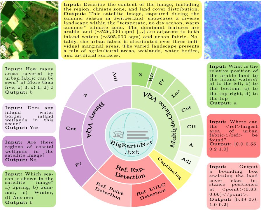
A Large-Scale Multi-Sensor Image-Text Dataset and Benchmark for Earth Observation
BigEarthNet.txt contains 464 044 co-registered Sentinel-1 synthetic aperture radar and Sentinel-2 multispectral images with 9.6 M text annotations, including: i) geographically anchored captions describing land-use/land-cover classes, their spatial relations, and environmental context; ii) visual question answering pairs relevant for different tasks; and iii) referring expression detection instructions for bounding box prediction.
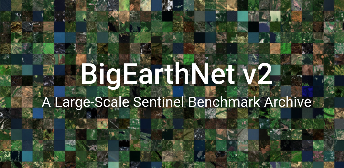
BigEarthNet v2.0
reBEN: Refined BigEarthNet Dataset for Remote Sensing Image Analysis
reBEN (also called BigEarthNet v2.0) is a large-scale, multi-modal remote sensing dataset constructed to support deep learning (DL) studies for remote sensing image analysis. The dataset consists of 549,488 pairs of Sentinel-1 and Sentinel-2 image patches.
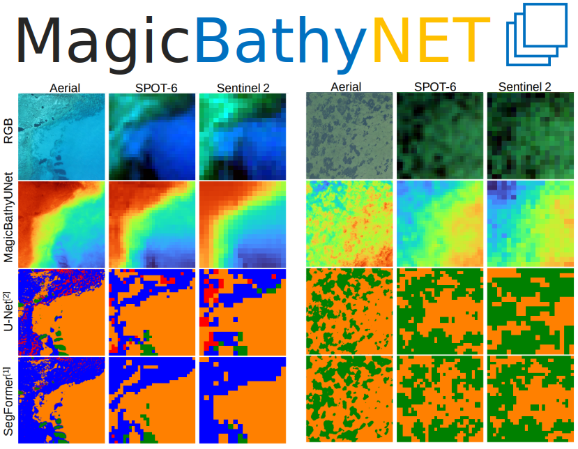
MagicBathyNet
A Multimodal Remote Sensing Dataset for Bathymetry Prediction and Pixel-based Classification in Shallow Waters
MagicBathyNet contains 3355 RGB co-registered triplets of Sentinel-2 (S2), SPOT-6, and aerial image patches, complemented by 1244 RGB co-registered S2 and SPOT-6 pairs, 3354 DSM (Digital Surface Model) raster patches for the aerial patches and 3396 DSM raster patches for S2 and SPOT-6. Additionally, it contains 533 annotated raster patches for seabed habitat and type.
HySpecNet-11k
A Large-Scale Hyperspectral Benchmark Dataset
HySpecNet-11k is a large-scale hyperspectral benchmark dataset made up of 11,483 nonoverlapping image patches acquired by the EnMAP satellite. Each patch is a portion of 128 × 128 pixels with 224 spectral bands and with a ground sample distance of 30 m.
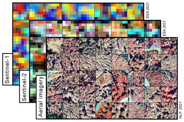
TreeSatAI
A Multi-Sensor, Multi-Label Dataset for Tree Species Classification in Remote Sensing
TreeSatAI consists of 50, 381 triples of aerial, Sentinel-2, and Sentinel-1 image patches annotated by labels of 20 European tree species derived from forest administration data of the federal state of Lower Saxony, Germany.
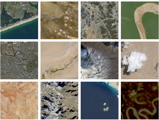
BigEarthNet
A Large Scale Multi-Modal Multi-Label Benchmark Archive
BigEarthNet is a benchmark archive, consisting of 590,326 pairs of Sentinel-1 and Sentinel-2 image patches to support the deep learning studies in multi-modal multi-label remote sensing (RS) image retrieval and classification.