Projects
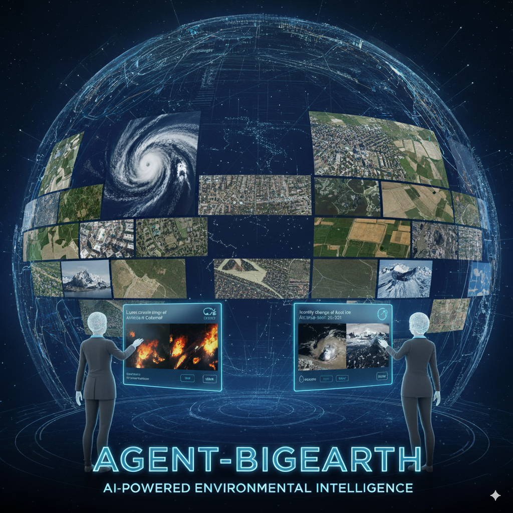
Agent-BigEarth
An AI Agent to Support Environmental Intelligence by Interacting with Copernicus Earth Observation Data
Agent-BigEarth is a research project funded by the European Research Council (ERC) PoC Grant for the period 2026-2027 and Prof. Begüm Demir is the Principle Investigator.
Completed Projects
BigEarth
Accurate and Scalable Processing of Big Data in Earth Observation
BigEarth was a research project funded by the European Research Council (ERC) Starting Grant for the period 2018-2024 and Prof. Begüm Demir was the Principle Investigator.
For more information, visit: bigearth.eu.
MagicBathy
Multimodal multitAsk learninG for MultIsCale BATHYmetric mapping in shallow waters
MagicBathy was a research project funded under the HORIZON Europe MSCA Postdoctoral Fellowships - European Fellowships for the period 2023-2025. For more information, visit: magicbathy.eu.
EOekoLand
Erdbeobachtung und künstliche Intelligenz für das Monitoring im ökologischen Landbau
EOekoLand was funded by the German Federal Ministry of Economic Affairs and Climate Action (BMVK) for the period 2022-2025. Our project partners were the Thünen Institute and FiBL.
DA4DTE
Demonstrator Precursor Digital Assistant Interface for Digital Twin Earth
DA4DTE was funded by the European Space Agency for the period 2022-2025. The project aims to foster development of the new generation of AI-powered “Digital Assistant” interface to EO data and Digital Twin Earth (DTE)-type information, also including elements of xAI to ensure better interpretable and trustworthy sciences and innovative commercial applications. Our project partners were e-GEOS and the National and Kapodistrian University of Athens.
AI-Cube
Mehrwert aus Big Earth Data durch Kombination von KI und föderierten Datenwürfeln
AI-Cube was funded by the German Federal Ministry of Economic Affairs and Climate Action (BMVK) for the period 2021-2023.
For more information, visit: ai-cu.be.
IDEAL-VGI
Information Discovery from Big Earth Observation Data Archives by Learning from Volunteered Geographic Information
IDEAL-VGI was funded by the German Research Foundation for the period 2019-2022 under the Priority Programme “Volunteered Geographic Information (VGI): Interpretation, Visualisation and Social Computing” [SPP 1894]. The IDEAL-VGI project contributes to the following research domain indicated in the priority programme: information retrieval and analysis of VGI (machine learning and algorithmic interpretation for VGI and quality assessment of VGI). Our project partner was the GIScience Research Group at Heidelberg University.
TreeSatAI
Künstliche Intelligenz mit Erdbeobachtungs- und Multi-Source Geodaten für das Infrastruktur-, Naturschutz- und Waldmonitoring
TreeSatAI was funded by the Federal Ministry of Education and Research for the period 2020-2022. The overall goal of TreeSatAI was the prototypical development of AI methods for the monitoring of forests and tree inventories on local, regional and global scales. Based on freely accessible geodata from different sources (remote sensing, administration, social media, mobile apps, monitoring libraries, open image databases) prototypes for deep learning based extraction and classification of tree and stand features for four different use cases in the field of forest, nature conservation and infrastructure monitoring will be developed. Our project partners were: Geoinformation in Environmental Planning Group of TU Berlin, LiveEO, LUP, DFKI and Vision Impulse.