News
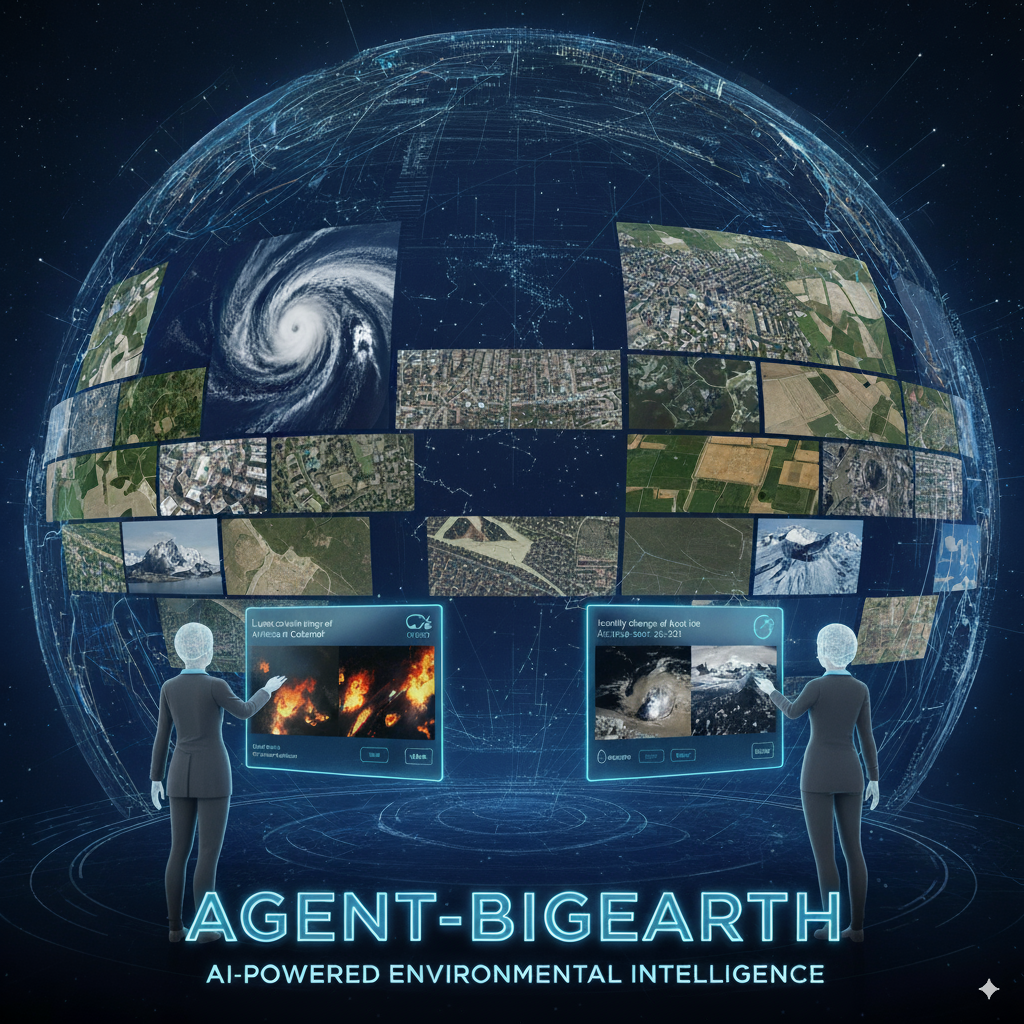
A new ERC Proof of Concept Grant
2026-01-27
Prof. Dr. Demir has been awarded the Proof of Concept (PoC) Grant by the European Research Council (ERC) for her project: Agent-BigEarth: An AI Agent to Support Environmental Intelligence by Interacting with Copernicus Earth Observation Data. For details, please click here.
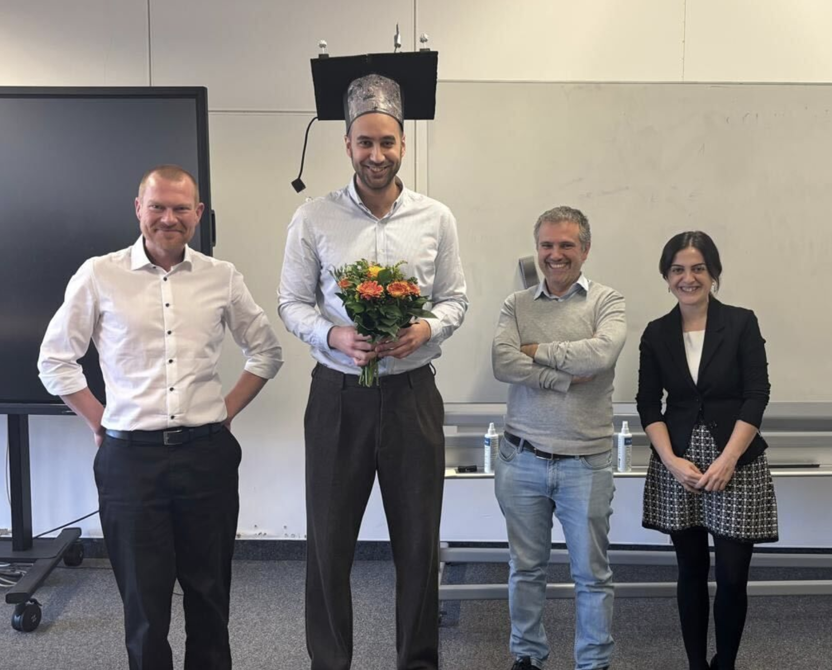
Barış Büyüktaş defended his PhD thesis
2025-12-15
Barış Büyüktaş successfully defended his PhD thesis titled “Advanced Federated Learning Methods for the Analysis of Remote Sensing Images Across Decentralized and Unshared Archives” and received the distinction 'summa cum laude'. Congratulations Barış!
ESC Digital & AI Summit
2025-11-24
At the European Society of Cardiology's Digital & AI Summit in Berlin, Prof. Demir presented how big data in Earth Observation (EO) can support the research and development on cardiovascular care, and how the AI models and tools for EO can enhance this field.
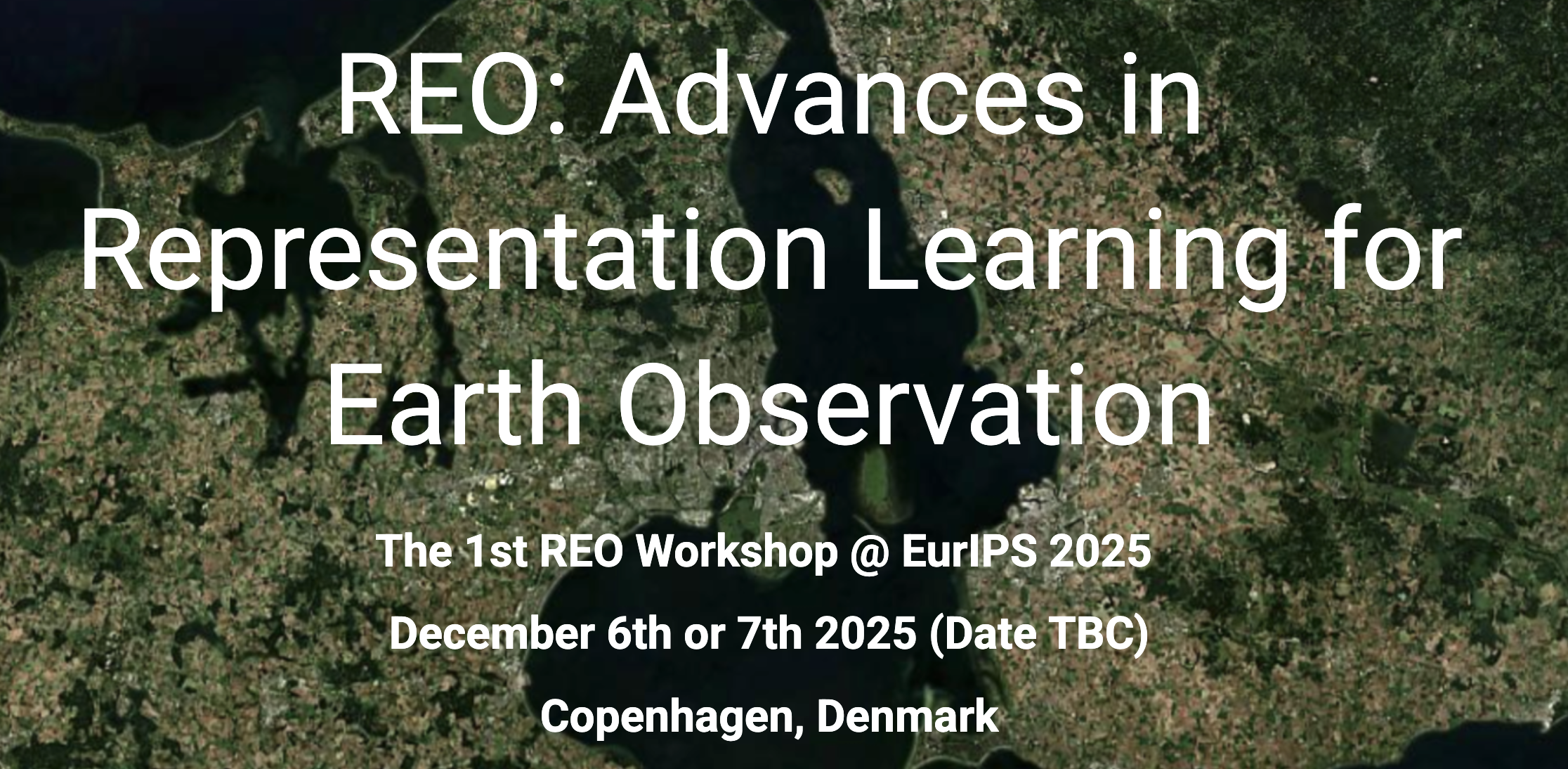

GAIA 2025 Symposium
2025-05-20
GAIA 2025 will spotlight the transformative role of Foundation Models (FMs) in Earth Observation (EO), Geospatial Science, and broader Earth and Planetary Sciences. Prof. Demir is one of the organizers. For details, please click here.
BEODay 2025 in Brussels, Belgium
2025-05-14
At the BEODay 2025 - 40 Years of Belgian Earth Observation, Prof. Demir gave a keynote talk on "Recent Trends in AI for Earth Observation and Pathways Forward". For details about the event, please click here.
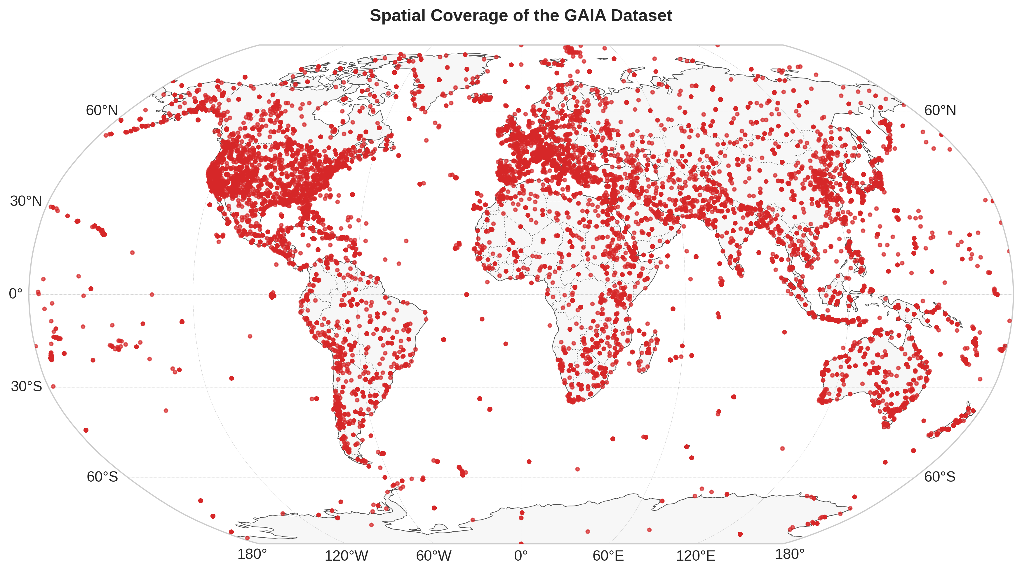
GAIA: A Vision-Language Dataset for Earth Observation
2025-03-28
GAIA is a new dataset designed to overcome the limitations of existing vision-language models and datasets in the field of Earth observation. For details, please click here.
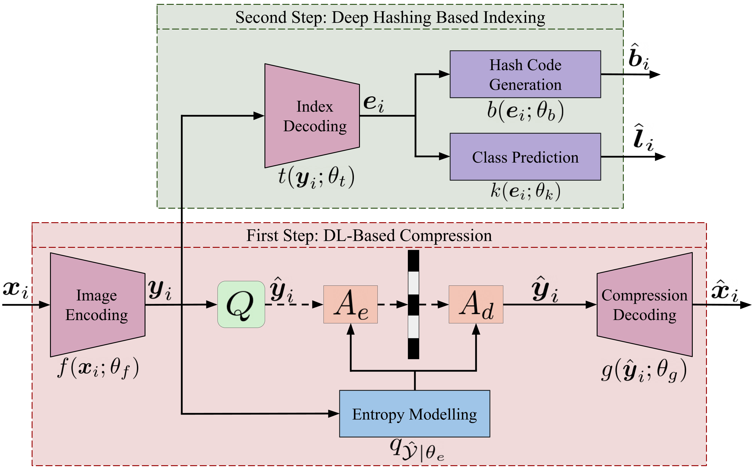
Learning-Based Compression and Compressed Domain Analysis in Remote Sensing
2025-03-25
A new website that reflects years of research and development at RSiM in advancing learning based compression and compressed domain analysis in RS.

MORSE @CVPR
2025-02-01
We organize the First Workshop on Foundation and Large Vision Models in Remote Sensing (MORSE) at the IEEE/CVF CVPR in collaboration with Prof. Prasad, Prof. Chanussot, Prof. Banerjee and Prof. Hong. For details, visit MORSE.
Berlin Science Week
2024-11-02
At the Berlin Science Week, we demonstrated EarthQube that is a system we developed to efficiently query satellite image archives. For more information, please visit: bifold.berlin.

BigEarth News @CORDIS
2024-09-13
The BigEarth Project, led by Prof. Dr. Demir, has been honored by CORDIS for advancing AI in remote sensing image search and retrieval. For details, visit cordis.europa.eu.
Associate Editor, IEEE GRSM
2024-09-10
Prof. Dr. Demir has been appointed as Associate Editor of IEEE Geoscience and Remote Sensing Magazine (GRSM).
BigEarthNet v2.0
2024-07-10
We have recently released BigEarthNet v2.0 (also known as reBEN) that is a large-scale multi-modal remote sensing dataset made up of 549,488 pairs of Sentinel-1 and Sentinel-2 image patches. For details, please visit: bigearth.net.
Event at Planetarium Berlin
2024-03-01
There will be a public event 'Smart Sky: Transforming Earth Observation through AI' organized by BIFOLD and Zeiss-Großplanetarium on March 19th in conjunction with our workshop.
Workshop in Berlin
2024-01-18
We organize a workshop that aims to explore the emerging methods, approaches and systems in the context of Data Management and Machine Learning for Earth Observation.
Date: March 18th & 19th, 2024.

Open PhD Positions
2024-01-10
The BIFOLD Graduate School offers 10 PhD positions, including a position on the topics of machine learning and data management for EO to join our team. For more information, please visit this link.
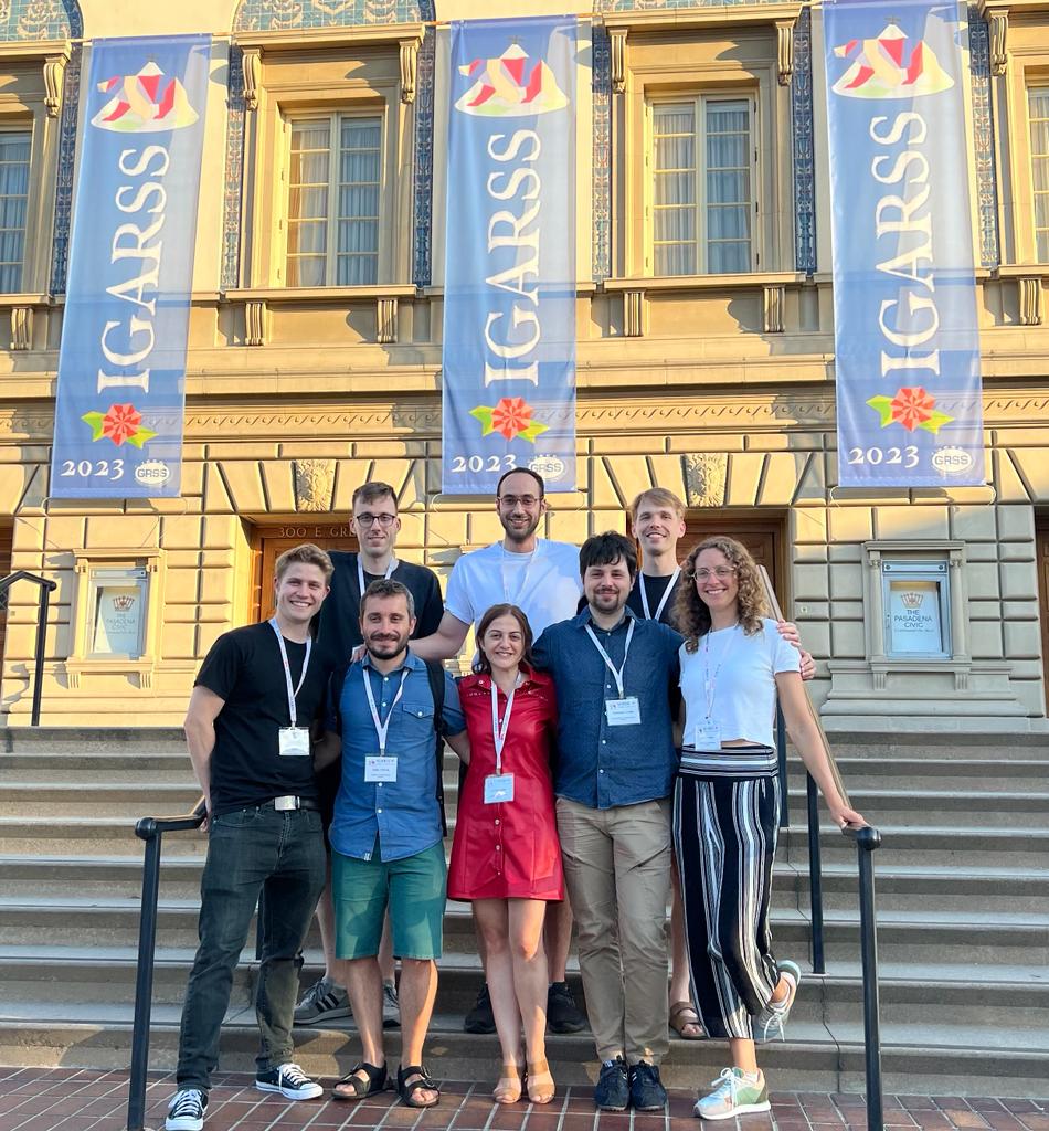
RSiM & BigEarth at IGARSS 2023
2023-08-01
We presented 7 papers at IGARSS 2023 in Pasadena, California, USA. To read our IGARSS papers, please visit our publications page.
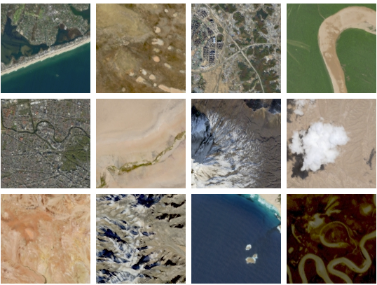
HySpecNet-11K
2023-06-25
We have recently released HySpecNet-11k that is a large-scale hyperspectral benchmark dataset made up of 11,483 image patches acquired by EnMAP satellite. For details, please visit: hyspecnet.rsim.berlin.
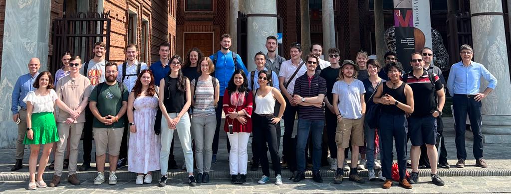
Summer School in Cremona
2023-06-08
We organized a summer school on "Machine Learning and Data Fusion for Earth Observation" in Cremona, Italy in collaboration with the University of Pavia, Grenoble Institute of Technology, University of Iceland.
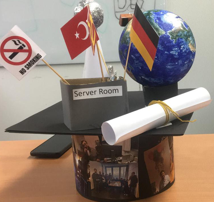
Gencer Sumbul defended his PhD thesis
2023-05-09
Gencer Sumbul successfully defended his PhD thesis titled “Deep Image Representation Learning for Knowledge Discovery from Earth Observation Data Archives” on May 9th and received the distinction 'summa cum laude'. Congratulations Gencer!
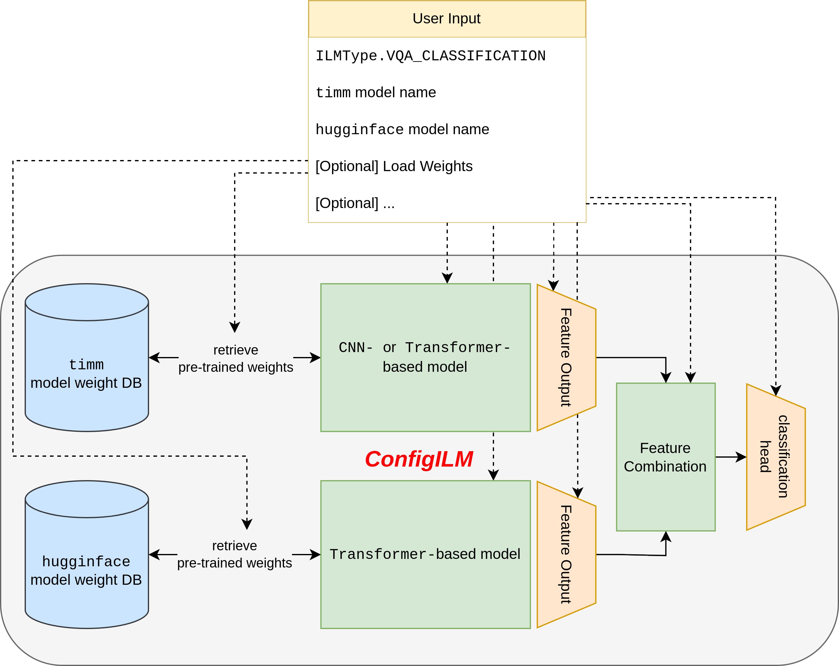
ConfigILM
2023-05-01
We have recently released ConfigILM that is a pytorch based library, enabling fast development of visual question answering systems. This open-source library provides a convenient implementation for seamlessly combining models from two of the most popular pytorch libraries, timm and huggingface.
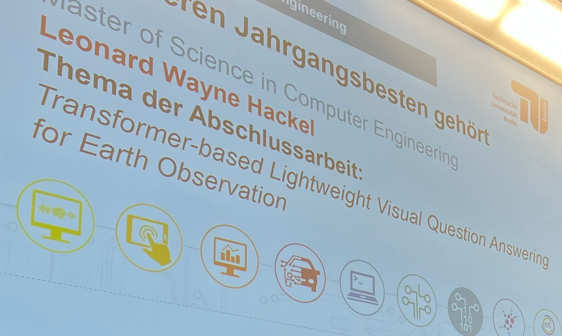
Leonard Hackel won Rolf-Niedermeier-Award
2023-01-11
Leonard Hackel was awarded the Rolf-Niedermeier-Award for the best master thesis in Computer Engineering of TU Berlin. In his thesis, he developed lightweight transformer-based visual question answering (VQA) models for Earth observation. For details, click here.
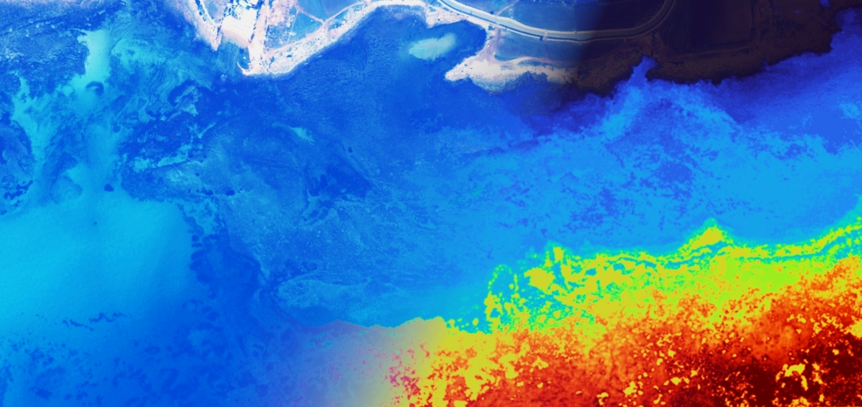
New Horizon Europe MSCA Project
2022-12-20
We will host "MagicBathy - Multimodal multitAsk learninG for MultIsCale BATHYmetric mapping in shallow waters" research project funded through the HORIZON Europe MSCA Postdoctoral Fellowships for the period 2023-2025. The project aims to establish an advanced framework for low-cost shallow water mapping.
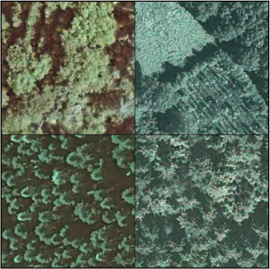
TreeSatAI Benchmark Archive
2022-12-05
Together with our partners within the TreeSatAI project funded by the Federal Ministry of Education and Research, we released the TreeSatAI benchmark archive that is a multi-sensor, multi-label dataset for tree species classification in remote sensing.

New Project funded by European Space Agency
2022-09-10
RSiM is involved in a new project 'Demonstrator Precursor Digital Assistant Interface For Digital Twin Earth' funded by the European Space Agency for the period 2022-2024. In this project, we will collaborate with the e-GEOS, Italy and the University of Athens in Greece.
New Project funded by BMWK
2022-09-01
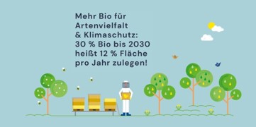
RSiM is involved in a new project 'EOekoLand: Earth Observation and Artificial Intelligence for Monitoring Organic Agriculture' funded by the German Federal Ministry for Economic Affairs and Climate Action for the period 2022-2025. In this project, we will collaborate with the Thünen-Institut and the Research Institute of Organic Agriculture (FiBL) in Germany.

BigEarth @ BIFOLD
2022-07-27
BigEarth (which was founded based on an ERC-funded project) has turned into a permanent research group (BigEarth: Big Data Analytics for Earth Observation) at the Berlin Institute for the Foundations of Learning and Data (BIFOLD) and will be led by Prof. Demir.

Open PhD and Postdoctoral positions at RSiM
2022-07-21
We are looking for Phd candidates and Postdoctoral researchers to join our team. For details, visit this link.
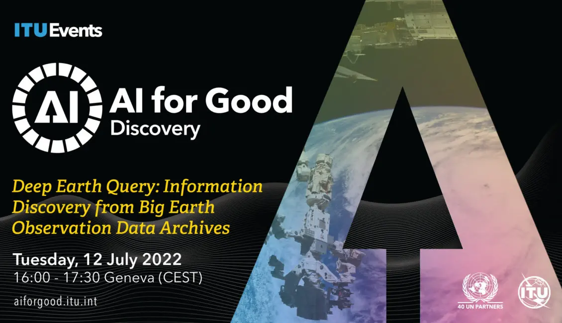
Deep Earth Query: Information Discovery from Big Earth Observation Data Archives
2022-07-07
Prof. Demir will give an invited talk about Deep Earth Query: Information Discovery from Big Earth Observation Data Archives on July 12th at 4PM (CET). If you would like to join, please register through the link.
Invited Lecture: Advanced Urban Remote Sensing
2022-05-31
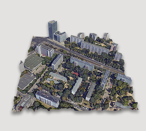
Prof. Dr. Paolo Gamba from the University of Pavia, Italy, will visit RSiM to give an invited lecture on the week of June 13-17. For details, please visit: Advanced Urban Remote Sensing.
ECMWF Machine Learning Workshop
2022-03-27
Prof. Demir will give an invited talk at the 2022 ECMWF Machine Learning Workshop on March 31st. In her presentation, she will talk about "Learning from Noisy Class Labels for Earth Observation".
Google Gift
2022-01-01
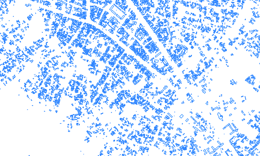
Our group has received an unrestricted Google Gift for "Exploring research topics related to Google datasets, such as Dynamic World of Google Earth Engine and Open Buildings of Google Research.

Berlin Science Week
1-10 Nov 2021
2021-11-06
Prof. Demir will be one of the speakers at "The Transformative Effect of Science - A Joint Event of the Berlin University Alliance and the European Research Council", organized in the "Berlin Science Week".
ESA Φ-WEEK
11-15 October 2021
2021-09-23
Prof. Demir will give an invited talk at the key session 'AI4EO Learning from Earth Observation Data to Understand Our Planet' at the ESA Φ-Week.

MACLEAN'21 - Machine Learning for Earth Observation Workshop
2021-08-01
Prof. Demir will be one of the keynote speakers at MACLEAN workshop that will be held in conjunction with the European Conference on Machine Learning and Principles and Practice of Knowledge Discovery in Databases (ECML/PKDD).

TUB-Huawei Joint Innovation Center
2021-05-30
Prof. Demir is one of the PIs of the recently established TU Berlin-Huawei Wireless Joint Innovation Center that is focused on innovative solutions for future Wireless Communication Systems beyond 5G.

Learning from Noisy Labels in Remote Sensing
2020-12-09
To reduce the negative impact of noisy land-use and land-cover annotations, we research on developing noise robust deep learning models. We have recently made public our codes on noise robust deep learning models for Earth observation at noisy-labels-in-rs.org.
A New Project Funded by the Federal Ministry of Education and Research
2020-07-14
RSiM is involved in a new project 'TreeSatAI-Künstliche Intelligenz mit Erdbeobachtungs- und Multi-Source Geodaten für das Infrastruktur-, Naturschutz- und Waldmonitoring' funded by the Federal Ministry of Education and Research for the period 2020-2022. The project partners are: Geoinformation in Environmental Planning Group of TU Berlin, LiveEO, LUP, DFKI and Vision Impulse.

Conference on Big Data and Machine Learning in Geosciences
2020-01-24
The Federal Institute for Geosciences and Natural Resources (BGR), with the support of the German Federal Ministry of Economic Affairs and Energy (BMWi), organizes the International Conference on Big Data and Machine Learning in Geosciences that will be held on February 20-21, 2020 in Berlin. Prof. Demir is an invited speaker and will give a talk on ‘Deep Earth Query: Information Discovery from Big Earth Observation Data Archives’. Further information is available here.
The Trillion Pixel GeoAI Challenge Workshop at Oak Ridge National Laboratory
2019-10-08
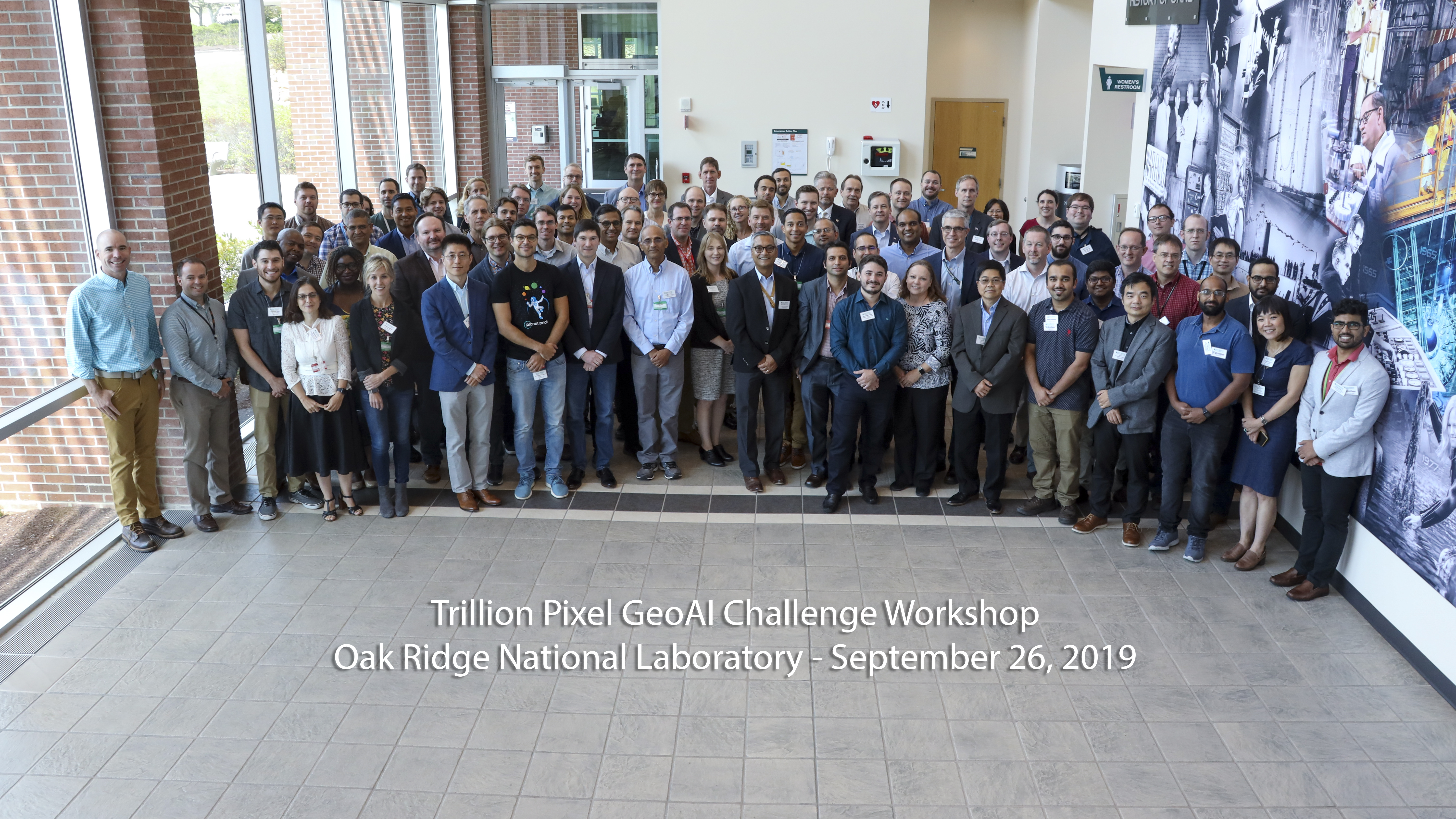
Prof. Demir was a panelist at the GeoAI workshop to discuss barriers, opportunities, and the way forward in exploiting high-resolution planetary imagery for greater societal impact. The highlight of this event was the presentations and discussions on societal AI challenges by experts from image science, computer vision, machine learning, high performance computing. Further information is available here.

Editorial Board Membership for the MDPI Remote Sensing Journal
2019-07-12
Prof. Demir has been appointed as a member of the editorial board of "Remote Sensing Image Processing" section for the MDPI Remote Sensing journal.

A New Project Funded by the German Research Foundation
2019-07-08
RSiM got a new project 'IDEAL-VGI - Information Discovery from Big Earth Observation Data Archives by Learning from Volunteered Geographic Information', which will be funded by the German Research Foundation for the period Oct. 2019-Oct. 2022. IDEAL-VGI is supported under the Priority Programme “Volunteered Geographic Information: Interpretation, Visualisation and Social Computing” [SPP 1894]).
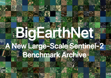
BigEarthNet: A New Sentinel-2 Benchmark Archive
2019-03-15
We have made public our BigEarthNet archive that is significantly larger than the existing archives in remote sensing and opens up promising directions to advance research for the analysis of large-scale remote sensing image archives.
Editorial Board Membership for IEEE GRSL
2018-11-05
Prof. Dr. Demir has been appointed as an Associate Editor for the IEEE Geoscience and Remote Sensing Letters.
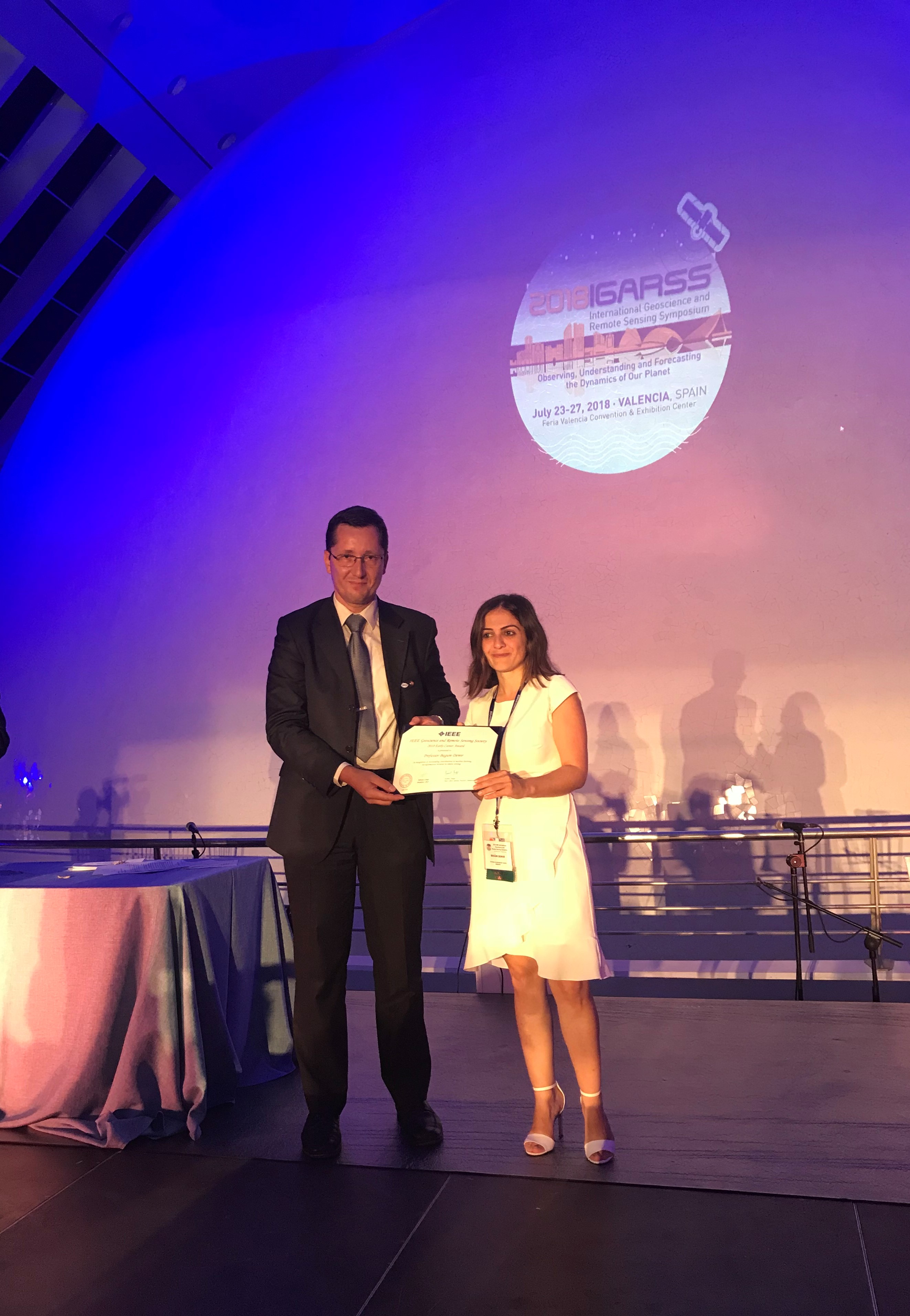
2018 Early Career Award for Prof. Demir
2018-07-27
Prof. Demir is the recipient of the prestigious “2018 Early Career Award” presented by the IEEE Geoscience and Remote Sensing Society (GRSS). IEEE GRSS founded in 1962 is the most important international scientific society in the field of geosciences and remote sensing. Factors considered for assigning the award are: quality, the significance and impact of contributions, papers published in archival journals, papers presented at conferences and symposia, a demonstration of leadership, and advancement of the profession.
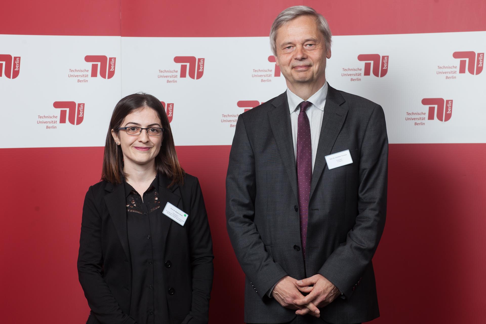
New Starting at TU Berlin
2018-04-13
The President, Prof. Dr. Thomsen welcomed all newly appointed professors at TU Berlin.

ERC Funded BigEarth Project Has Officially Started at TU Berlin
2018-04-01
Prof. Dr. Begüm Demir moved with her BigEarth project from Italy to the TU Berlin. BigEarth is a research project funded by the European Research Council (ERC) Starting Grant, and it aims to develop a scalable and accurate Earth Observation (EO) image search and retrieval system for an accurate and fast discovery of crucial information for observing Earth from Big EO Archives.